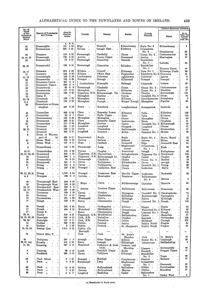
General topographical index, Ireland, 1901
Page 429
| Alphabetical index to the townlands and towns of Ireland, with the number of the sheet, of the Ordnance Survey maps on which they appear; the area in statute acres of each townland; the county, barony, parish, county district, and district electoral division in which it is situated; and the index number of its district electoral division in the arrangement followed in table vii. of the census county books of 1901, in which area, houses, population, and valuation are given | (917 pages) | |
| Dr-Dy | (Pages 392-436) | |
